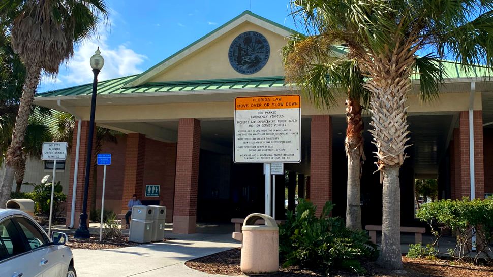
Marion County Rest Area, I-75 Southbound
Updated: Oct. 18, 2023. Become familiar with some of the best roadside rest stops that you can use for your comfort and convenience when using Florida highways. This Florida rest areas map with travel tips will save you time on the road.
Interstate Rest Areas in Florida
Florida is seeing massive population growth, ranking No. 2 in the country for most residents gained between July 2020 and July 2021, according to recent U.S. Census Bureau data. Florida’s population is estimated to be 22 million and it is the third highest state in the US. Growth continues in 2023! Its no surprise that driving to get ANYWHERE, not just to visit a beach, is not easy for Florida travelers. Our guide will help make your road trip easier.
This post may contain affiliate links and we may earn a small commission when you click on links, at no cost to you. Get more information in our Disclaimer.

Best Rest Stops In Florida
The Florida Highway Patrol is working to reduce the time motorists spend in traffic jams. They are adding rest stops to some of the most congested areas in Florida. There are 65 total Rest Areas, this number includes 8 Turnpike Service Plazas and 4 Welcome Centers. You can get a physical map at the Welcome Centers if you like. This can be a big help on any Florida road trip. We've all been steered in the wrong direction by our GPS from time to time.
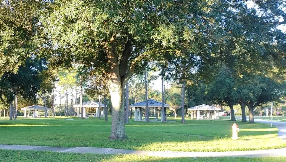
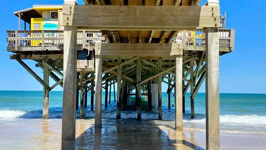
Brevard County I-95 South Rest Area
The best resource to find a rest area is FDOT. You look at the online map or a list. The stops are available for drivers to use as a place to rest, eat, and even refuel. Although the state of Florida has made provisions for these rest stops so that drivers can stop at them anytime, some are better than others. Not all of them have gas stations. It is important to find the best rest areas for your Florida trip before you go. Nothing is worse than needing to stop and the rest area is closed for maintenance!
Florida Service Plazas vs. Welcome Centers
Service Plazas are found only along Florida’s Turnpike System. Service Plazas have fuel stations, convenience stores, and restrooms. Welcome Centers have tourist information. They are operated by Visit Florida, Inc. Welcome Centers are located at entrances to the State on I-10, US 231, I-75, and I-95. Most of the rest areas provide ADA-compliant family restrooms for travelers who may need companion assistance to make use of the facilities.
The facilities in Welcome Centers and Interstate Rest Areas are maintained 24 hours a day, 7 days a week. Please note: there are no state rest stops in the Florida Keys. Your choices will be gas stations, restaurants, and convenience stores. Luckily, in Florida, these options are everywhere.
Safety at Florida Rest Centers
There is overnight security at the state rest centers, however, sleeping at these rest centers may leave you vulnerable to theft. There is a 3-hour limit allowed by law for sleeping in your car (for non-commercial drivers). If you are too drowsy to drive and need more than three hours, tell the security guard you are tired and need a little more time. Camping is prohibited.
Rest Area Rules to Follow

Miss Fancy says Florida Rest Areas are Dog-Friendly
Florida Traffic and Tolls
While traveling through the State of Florida you can always call or use the 511 mobile app for the most up-to-date traffic information (see more on this below). It also will tell you about construction, road closures, and weather. It will even tell you if a drawbridge is up or down! Being aware of where rest stops are located on your road trip will help you leave any highway congestion should it occur. Toll roads can be pricey but are often worth it in busy traffic areas. Check out more Florida toll information at the Sunpass website.
Favorite Florida Rest Stops
Polk County I-4 Eastbound
Polk County, I-4 Eastbound Rest Area near Lakeland
This clean rest stop with lots of parking offers some interesting wildlife. Visitors have reported seeing Sand Hill Cranes. The landscape is lovely and relaxing while you snack at the picnic tables. This is the last rest stop on I-4 East before you reach Disney World. There is a pet area. If you need fuel, there is a Shell just before the rest stop on FL-559, Polk City or a Marathon at the interchange right after the rest stop (state road 557). 
Sandhill Cranes with chicks
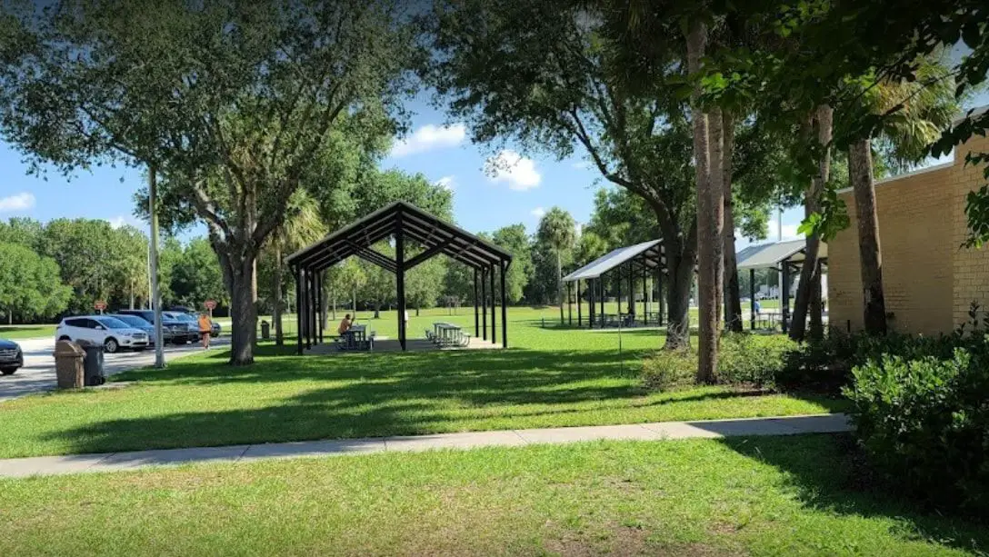
Hillsborough County, I-75 Southbound in Ruskin
This Tampa area rest stop is brand new. After picking up your rental car at the airport, it's good to find a rest stop that is clean and well-lit. All the picnic and public areas are accessible. There are also enough handicapped parking spaces if needed. A fenced dog area is available: so great for our pups! There is a RaceTrac at the interchange just before the rest area if you need fuel. Keep going to get to Anna Maria Island and Siesta Key Beach. 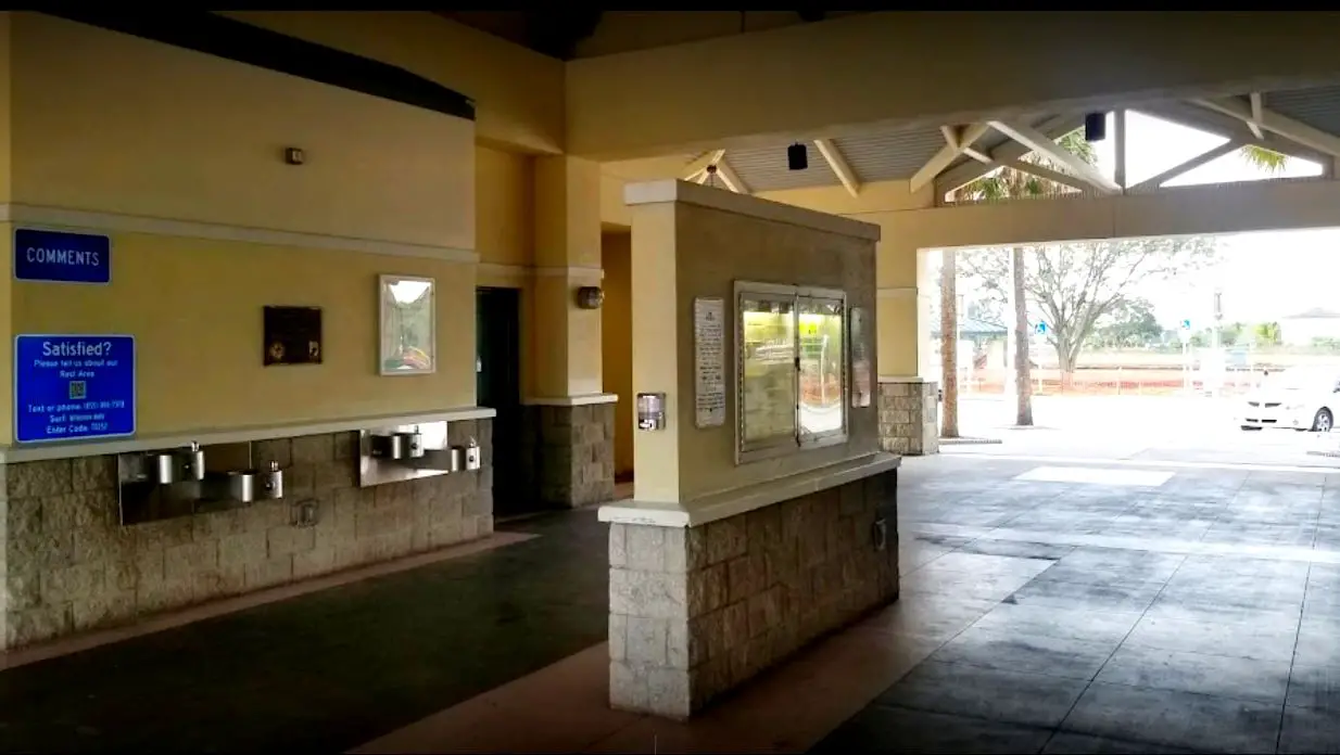
Ruskin Rest Stop I-75 Southbound
Brevard County, I-95 South Rest Area in Grant-Valkaria
This large rest stop has plenty of clean bathrooms and tons of parking. It is one of the cleanest on I-95. It is just south of Melbourne, FL. Take our advice, stop here and not at Mims if you are on your way to Daytona Beach, New Smyrna Beach, or Ormond Beach. 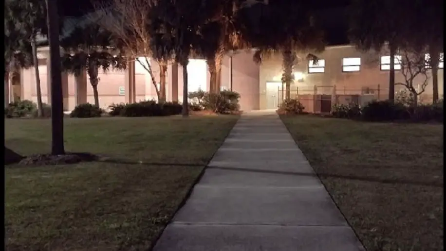
Brevard County I-95 South Rest Stop
Alligator Alley
Crossing the state to get to Miami Beach? Some of the most interesting Rest Areas are located on Alligator Alley in South Florida on I-75 between Naples and Ft. Lauderdale. Two in Collier County in Ochopee, FL, are halfway through Alligator Alley. When we visited it was clean and with lots of lighting. The one in Broward County has a lot of interesting information on the Everglades. It is quite busy since it is the last rest stop in Broward. 
Alligator Alley Rest Stop with Everglades Information
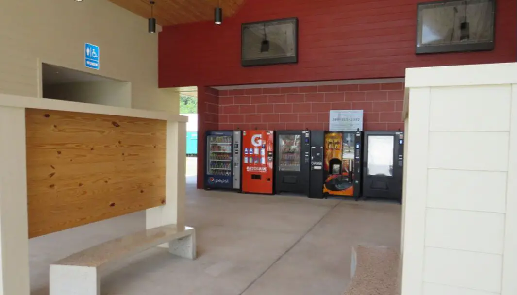
Columbia County I-10 Westbound, Lake City, FL
This brand new rest area has multiple vending machines and is clean as a whistle. With security patrols happening night and day, you can take a break from that long road trip without any worries. There is also a dog walking area and people walking trail that leads to a large solar panel farm. We stopped here on our way to Panama City Beach.
Santa Rosa County, I-10 Eastbound and Westbound Rest Stops near Pensacola, FL
We had to include both of these because they are so highly rated. Clean and well-lit, the vending options are superior and include ice cream. With trails to walk your pets, the experience is complete if you are in the Florida Panhandle area. Security is also good here. There's a Blue Angels airplane statue at this rest stop. Perfect, because there is always something interesting to find on a Florida road trip. 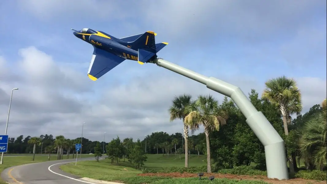
I-10 Santa Rosa County Rest Area Blue Angel Plane
More Tips for Florida Travelers
Here are some valuable online resources to check before you drive to the beach (or anywhere else in Florida). It only takes a few minutes. This beach day checklist may save some frustration, time and dollars at the gas pump.
Florida Traffic: how busy are the roads?

Miami Beach traffic
Checking the road is probably second nature for some travelers. Google Maps will help. It will tell you how busy the beach is at any time of the day. However, there is a Florida traffic resource that gives you even more. The FL511 system is Florida’s official travel source. It provides information on:
Coastal Storms: is there a storm coming or going?
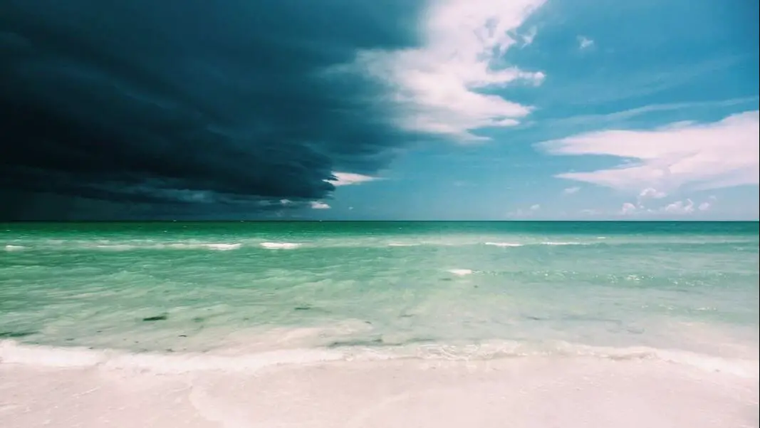
Siesta Key Beach storm
The FL511 system will also provide you with weather alerts, road weather alerts, and forecasts. It will show you the radar too. In the summer, storms frequently happen in the afternoon but can occur at any time. Rain may cause localized flooding and make driving difficult, on both coasts of Florida (yes, even in a pickup truck).
When planning a Florida vacation or beach road trip, you will need to keep an eye on hurricane forecasts. Hurricane season starts June 1 and ends November 30. That doesn't mean there will be a storm, but visitors to Florida need to be aware of the possibility. That's where The National Hurricane Center (NOAA) comes in. It will tell you if there is a storm in the Atlantic or forming in the Caribbean, or even the Gulf of Mexico; they can pop up suddenly. Check the NOAA site regularly or on social media when making your plans.
Beach Water Quality: is the beach clean for swimming?

Red Tide Sarasota
Red tide, blue-green algae, and other bacteria-related conditions appear on Florida beaches from time to time. Sargassum seaweed can be a problem at Miami Beach. Red tide can affect Sarasota beaches. The State of Florida monitors the water and publishes results online at Florida Healthy Beaches Program. Just click on the county and city of your desired Florida beach destination. Then the beaches button will show any advisory.
If the advisory says "poor" don't go! It's that easy to save yourself wasted time and fuel. The next day the water can be fine but check again. We wish we'd known. We drove out to our favorite Gulf beach only to end up disappointed. Don't let this happen to you.
Click here: https://www.floridahealth.gov/environmental-health/beach-water-quality/index.html
Tide Times: is the tide level safe for swimming?
Low tide Daytona Beach Shores
In 2022, record-setting high tides became a big problem on the Florida east coast due to Hurricane Ian. St. Petersburg, Clearwater, Miami and Cape Canaveral have been cited as having a potential increase for flooding days according to NOAA. The yearly King Tide is well-known on the Atlantic coast of Florida for causing the most problems. Tidal heights in the Gulf of Mexico are usually smaller than the Florida east coast beaches.
Normal tidal fluctuations can affect your beach day visit. We recommend you check tide times before you go for maximum enjoyment and safety. Tideschart.com is a great resource for Florida tides. For example, you can check tide times for the Daytona Beach area here: Tideschart.com and NOAA Tide Times.
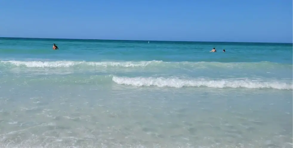
Siesta Key
Final Tip: when you arrive at the beach take note of the Beach Flag status at the Lifeguard station. It will tell you if there are strong currents, jellyfish or stingrays present that day. You can also look it up here or find it at the beach city or county online before you go. No more travel headaches!
Disclaimer: Our blog website is for general information only and not to be used for any official information. Reference official news and sources for your travel making decisions. Though we aim to provide you with up-to-date information, we make no representations or warranties of any kind (expressed or implied) about the completeness, accuracy, reliability, suitability or availability of any information, products, services or related graphics contained on the website for any purpose. Full Disclaimer here.
You Might Also Enjoy:
Comments are closed.
|
Categories
All
AuthorsSusan and Bruno are travel bloggers. We write about Florida beaches on every coast. Our opinions only. |
 RSS Feed
©2022 TRUCK THAT BEACH. ALL RIGHTS RESERVED. LOGO BY MVALERI GRAPHIC DESIGN